In this building, right at the entrance to the Mangrove Park in Mati, we will be staging our temporary exhibition from October onwards. On the left-hand side, school groups visiting from all over Mindanao will be informed about the importance of mangroves. It’s a huge task, but we’re brave enough to take it on.
Mangrove Education Center
The building pictured above has stood empty for over six years because two departments cannot reach an agreement. In the meantime, there has been a change of mayor. He is sympathetic to Mama Earth, having followed the reforestation work in Pujada Bay for years. We have already received a verbal assurance that DORSU University in Mati and the Mama Earth Foundation will take the lead there in future.
For a ‘soft opening’, we will put up around 20 information posters from October 2026 onwards. As there is also an elevated mangrove walkway through the canopy of the mangroves, the various mangrove species will be given small wooden nameplates, and two ladies will take turns working as tour guides. They will be given uniforms so that they can be recognised as tour guides. The training will be provided by the university.
Every day, up to ten buses can arrive from schools within a 150-kilometre radius. The location couldn’t be better. Just ten minutes from the university, this Mangrove Education Centre could teach hundreds of students, both in theory and in practice, just how important mangroves are – particularly in countries such as the Philippines, where, across more than 7,600 islands, between 60 and 70 per cent of the population live near the coast. The next step is then to set up a permanent exhibition space featuring exhibits such as shells, fish skeletons and fossilised marine creatures.
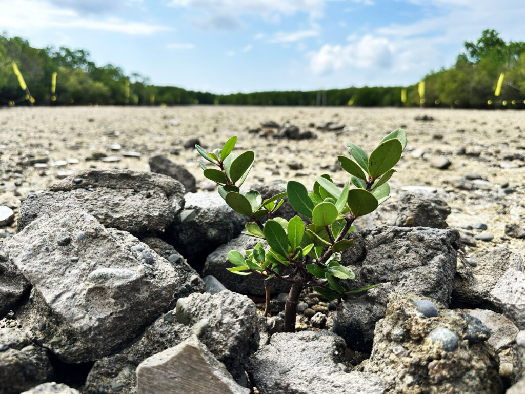
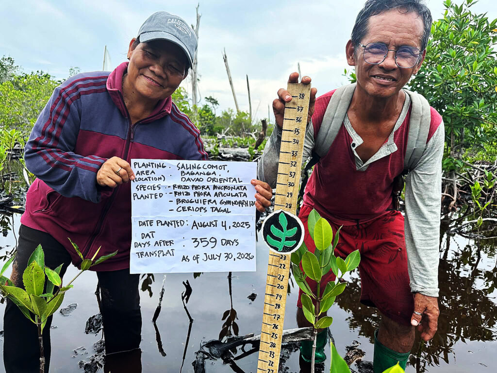
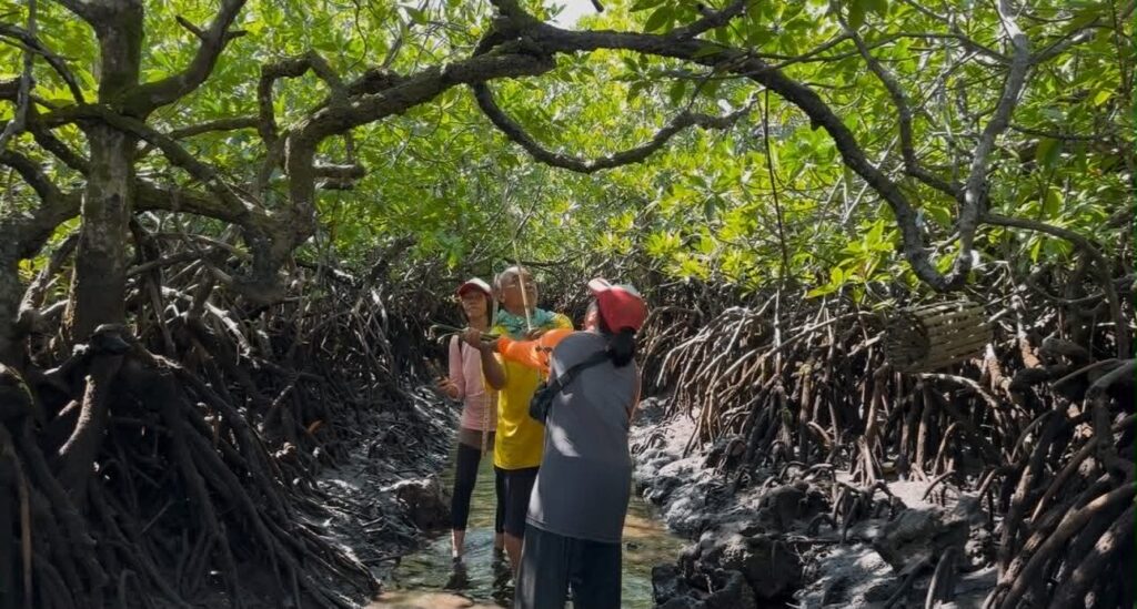
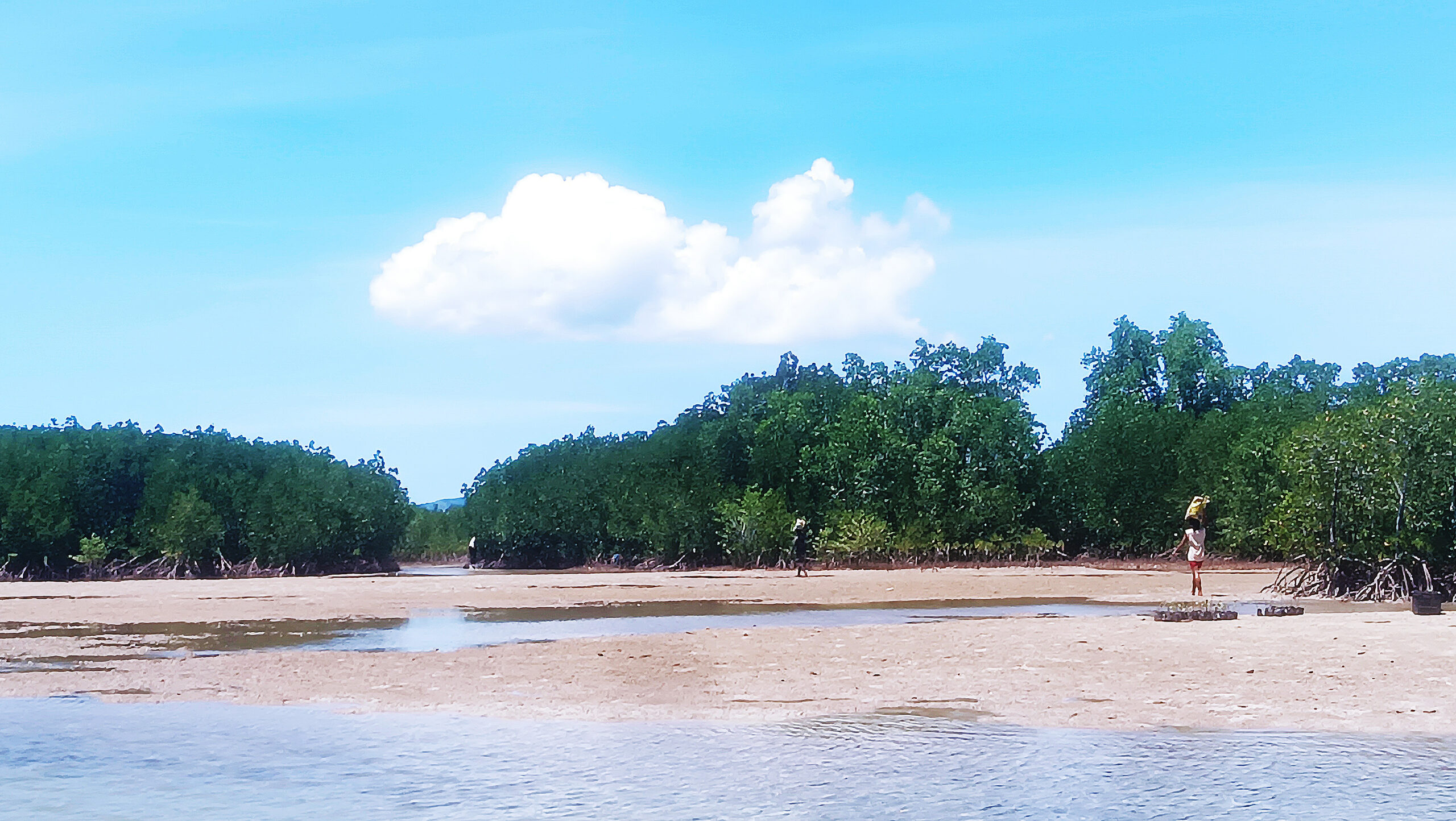
We visit the plantations at irregular intervals, as following the intensive reforestation work in Pujada Bay in Mati, we have already moved on to Baganga. Both locations are in Davao Oriental, about three hours’ drive apart. For our work, it is important to see how mangroves thrive on different types of sediment. Although the university evaluates the plantations on the basis of student reports and provides us with the relevant reports, it is essential for our work not to rely solely on third-party accounts, but to form our own impressions.
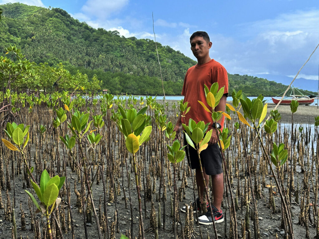
It has been confirmed – not least by our own observations – that we achieve the greatest success in areas where there is little human activity and the ground is muddy and boggy. Near settlements of fishing families, women who gather shellfish often roam
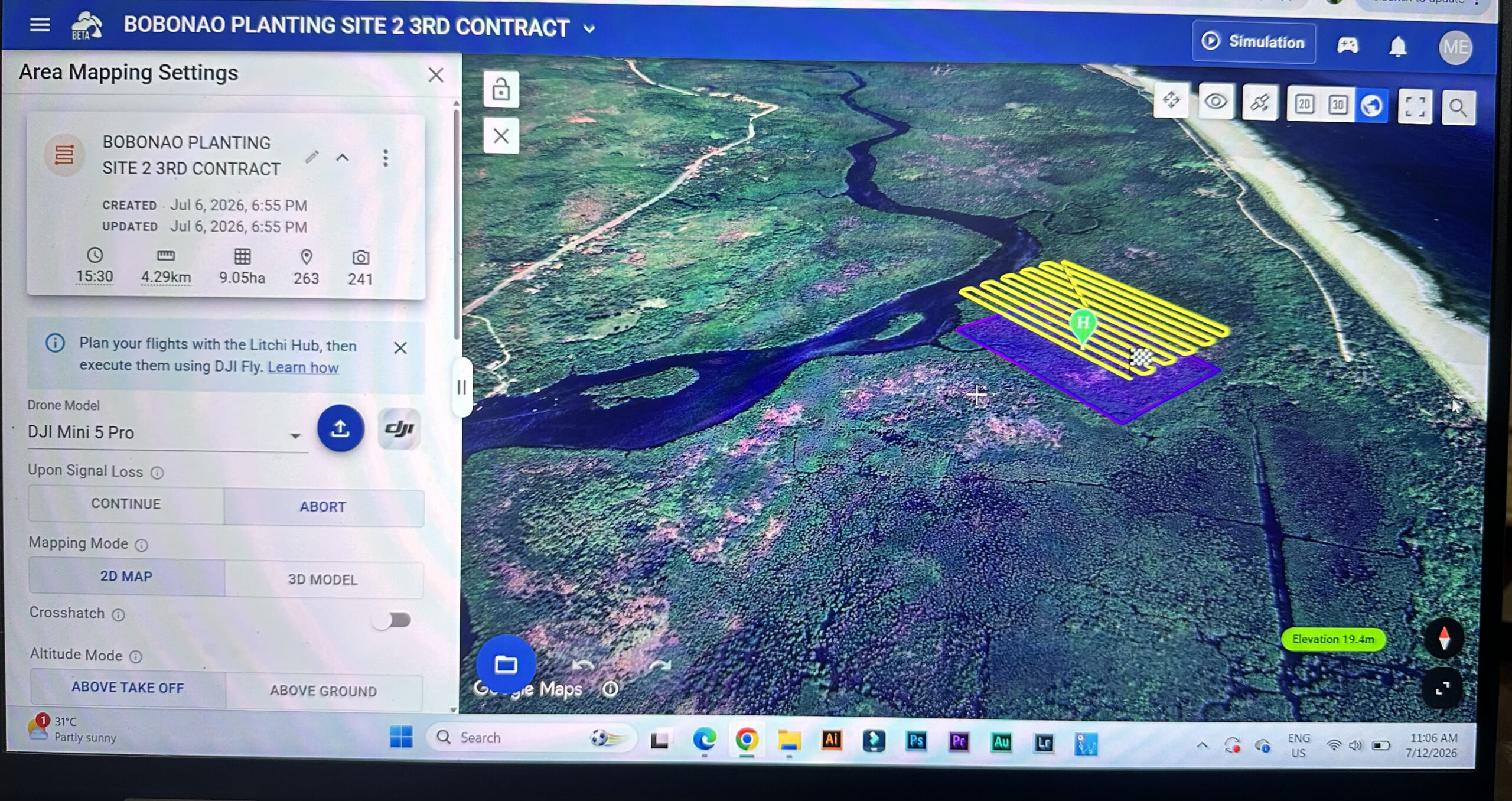
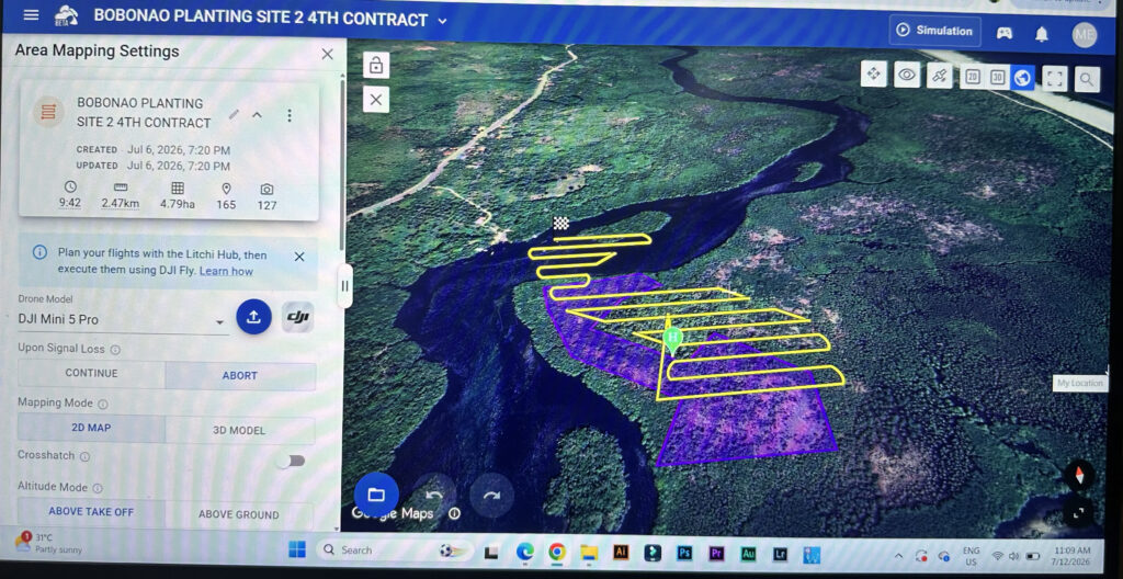
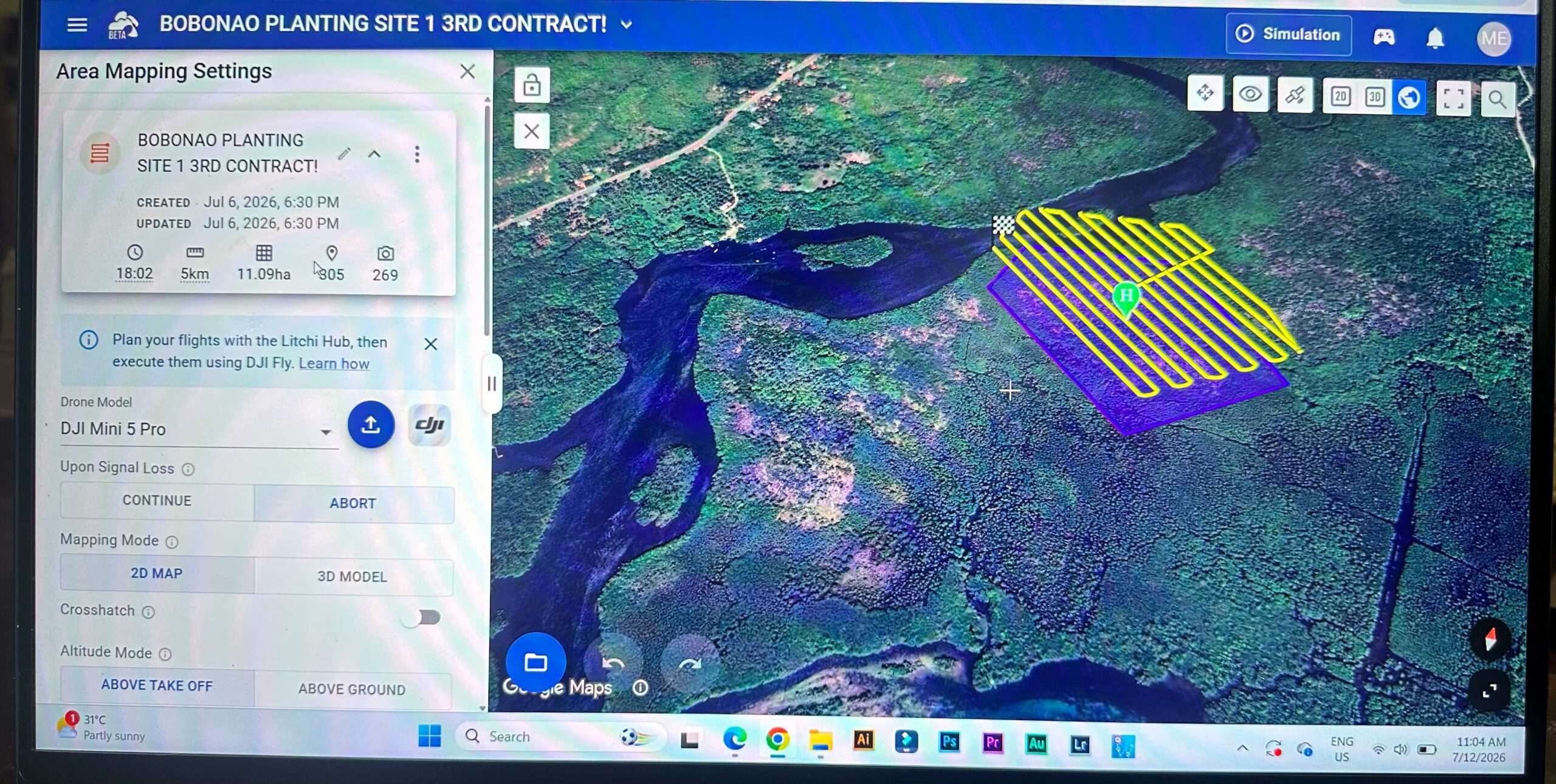
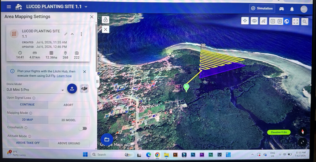
Our documentation of the reforested areas is progressing. However, there are always a few hurdles to overcome here too. Sometimes the rain is too heavy or the wind too strong, and every now and then our drone is attacked by birds of prey. Hopefully, all the areas will have been surveyed by the end of the year.
about, using a sharp iron tool to dig them up, though in doing so they frequently damage the mangrove roots. Where the ground is muddy, it seems as though the nutrients are almost waiting for the mangroves. Over the decades, the leaves constantly falling from the mangroves have settled over the often stony or limestone-like ground like a fertile blanket.
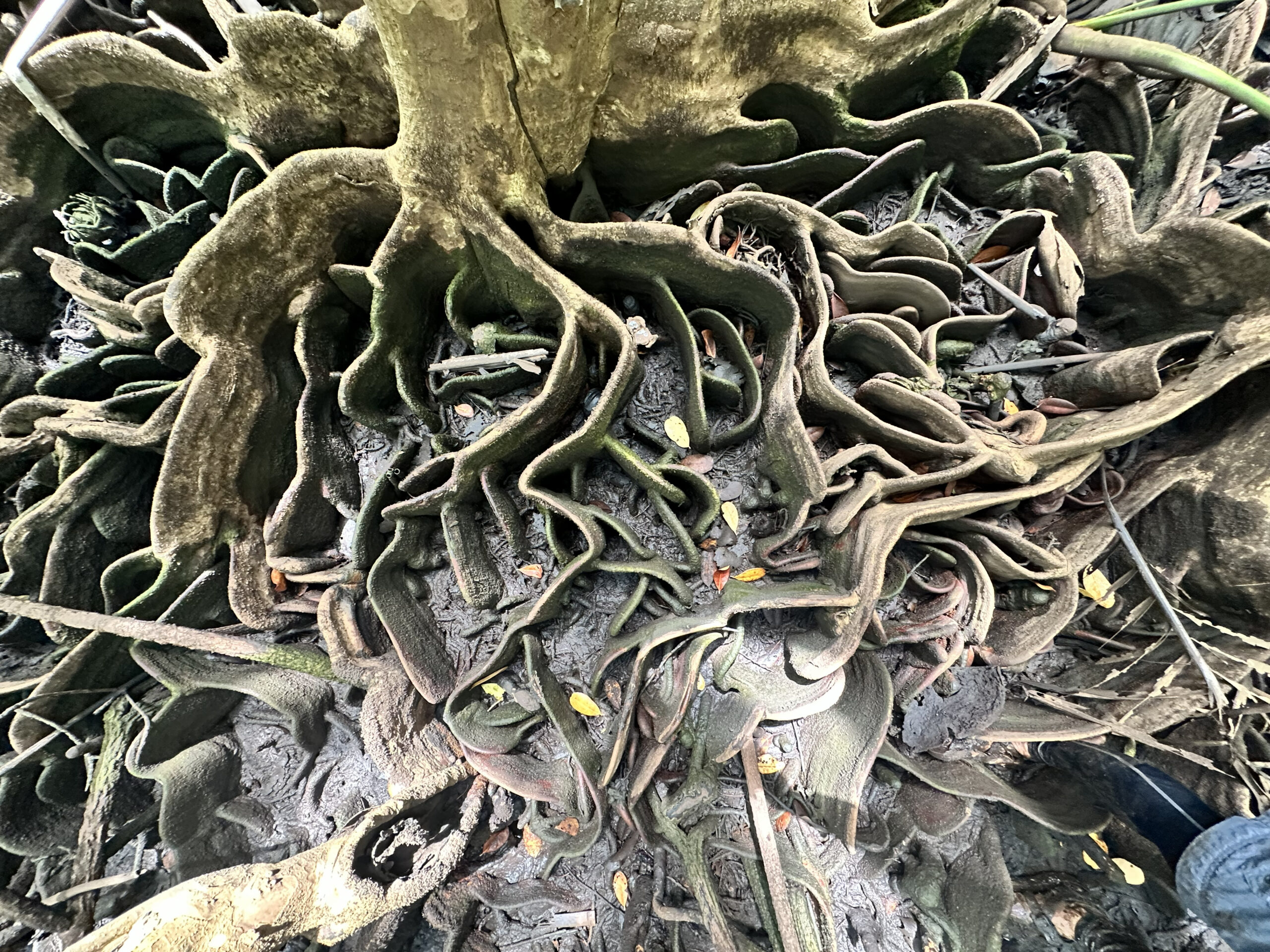
However, mangroves are also clever; through their roots or root networks, they slow down the flow of the water, thereby gaining more time to extract further nutrients from the seawater, such as nitrogen and phosphorus from surface runoff from the land. This is important because mangroves do not have deep roots, often reaching only 60 to 90 centimetres deep. That is why the huge Pagatpat mangroves are also highly vulnerable to the wind pressure of typhoons, as evidenced by our planting areas, where we are establishing new plantings amongst uprooted Pagatpat mangroves, thereby recreating a dense mangrove forest.
Drone flights
A large proportion of our foresters’ working hours is currently taken up by drone surveying. It is quite a task, as there are many areas to cover and the drone has a limited battery capacity, meaning we have to divide up a number of reforested areas. When the battery charge falls below a certain level, the drone flies back to its take-off point. Fresh batteries are then fitted and the flights resume.
After the flights, however, the work continues, as the photos are compiled into maps, as has already been reported on several occasions. This takes ages, because this rendering process actually requires a super-fast computer, which we do not have at our disposal. We hope to be able to purchase one next year, as the flights will then be carried out at regular intervals to monitor growth using the maps produced.
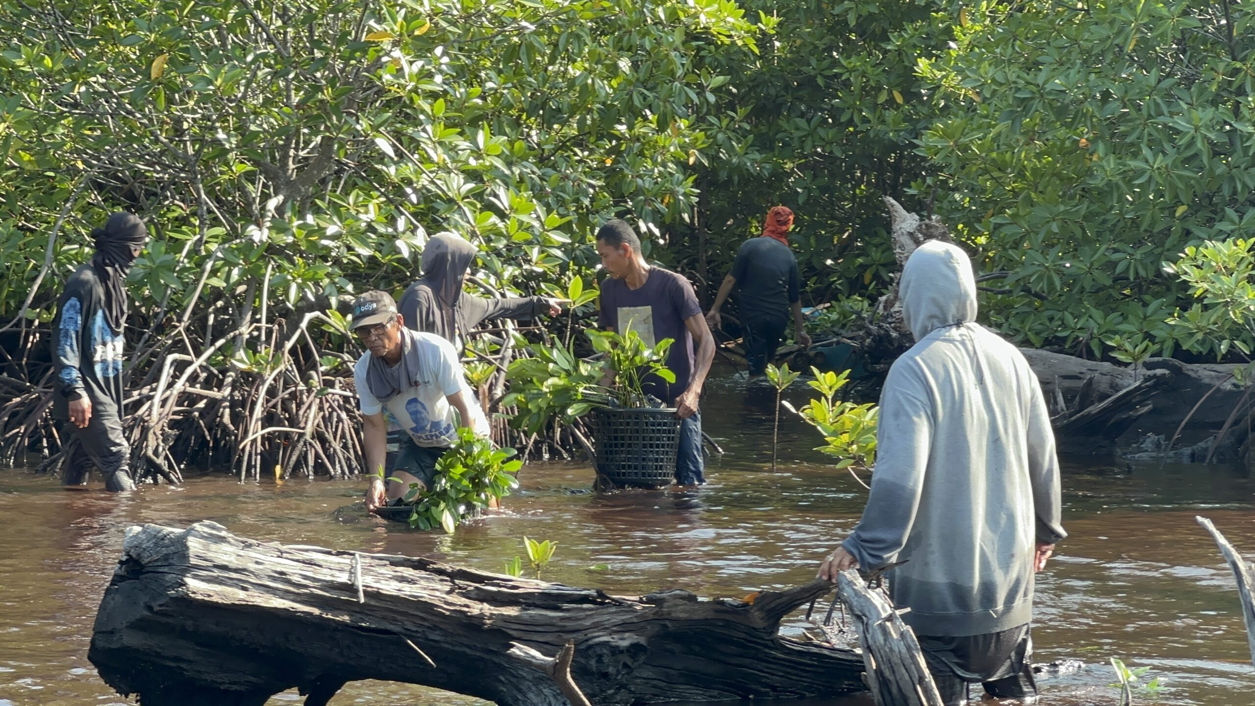
We are now planting around 80,000 mangroves a month. That’s quite an achievement, as it requires reliable planning. We still have plenty of planting areas available. In Baganga, we are likely to reforest a huge abandoned fish farm with mangroves. This was operated illegally and closed down many years ago. We are just waiting for approval from the Department of Environment and Natural Resources (DENR), the Philippine environmental authority.